In July-August 2006, we joined Veli Baxshaliyev, who has initiated a survey of all of Naxicivan, in order to survey Sharur Rayon. We focused on surveying the Arpacay, one of the major tributaries of the Araxes river, and its tributary, the Kabaxlycay. Given the limited amount of time we had at our disposal we were not able to initiate a walking survey as we had originally planned.
However, given the lack of published survey data for Naxcivan, a more extensive survey will provide a framework for a later, more intensive survey that we hope to initiate in summer 2007 or 2008. Instead we visited and collected material from all known sites, investigated tepes visible on CORONA imagery, and used local informants to locate other sites-- including the new fortress of Qizqala II (2).
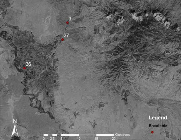
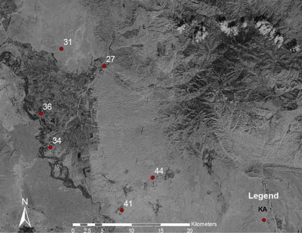
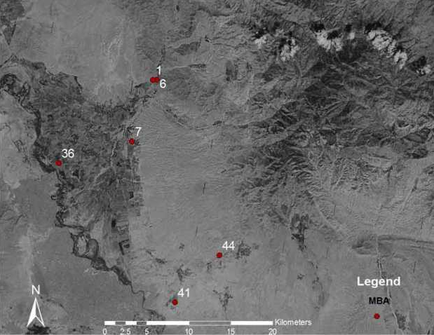
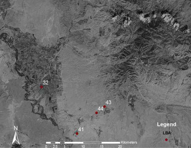
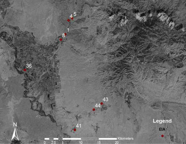
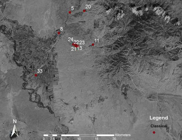
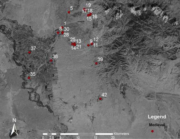
We also uncovered several sherd and lithic scatters when walking between known sites. We recorded the perimeter of each of our collection areas using a hand-held GPS receiver. The analysis of the survey is still ongoing—but the following maps give a very rough idea of settlement pattern changes over roughly 7000 years-- from the Eneolithic to the Medieval period.